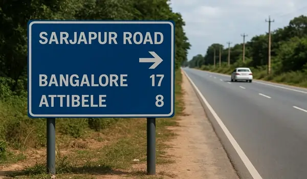
Sarjapur Road Distance and Directions

Sarjapur Road runs through the southeastern part of Bangalore, stretching for about 25 to 30 kilometers. It's a vital stretch connecting various parts of the city to the town of Sarjapur and beyond. Along its route, it passes through or is closely linked to important areas like Koramangala, HSR Layout, Bellandur, Dommasandra, Gunjur, and Kodathi, making it a key corridor for both living and working.
This area is one of Bangalore's fastest-growing spots, known for its many new homes, tech companies, and convenient facilities. Because it's so well-connected and centrally located, it has become a popular choice for both people looking to buy homes and investors. Projects like Nambiar District 25, for instance, benefit greatly from this prime location.
For those considering moving to or investing in this area, knowing the distances and directions from Sarjapur Road to other major parts of Bangalore is really helpful.
Key Distances from Sarjapur Road
Here are the approximate distances and travel times from a central point on Sarjapur Road to some of Bangalore's most important locations:
- To City Center & Main Stations:
- Sarjapur Road to MG Road: About 15-18 km. Travel usually takes 35-50 minutes during normal hours, but can be over an hour during peak traffic.
- Majestic (City Railway Station) to Sarjapur Road: Approximately 20-22 km. Expect travel times of 45-60 minutes without heavy traffic. This also covers the Sarjapur Road to Bangalore Railway Station distance.
- To Major Tech Hubs & Neighborhoods:
- Sarjapur Road to Whitefield: Roughly 13 km via Gunjur Road. This journey can take 30-45 minutes.
- Sarjapur Road to Marathahalli (Outer Ring Road - ORR): Around 10.5 km. Travel time is typically 20-30 minutes.
- Sarjapur Road to Bellandur (ORR): Approximately 9.5 km. This is a short drive, often taking 15-25 minutes.
- Sarjapur Road to Electronic City Phase 1: About 12 km. Travel time is usually 25-40 minutes.
- Koramangala to Sarjapur Road: Around 12 km, with travel times of 20-35 minutes.
- HSR Layout to Sarjapur Road: Roughly 11 km, taking about 15-25 minutes.
- Central Silk Board to Sarjapur Road: Approximately 14.5 km. Expect 30- 45 minutes of travel.
- To Kempegowda International Airport (BLR):
- The airport is about 50 km from Sarjapur Road (via SH-35). Travel time approximately can range from 1 hour to 2 hours, depending on traffic.
These distances show how strategically located Sarjapur Road is, offering quick routes to major workplaces and lifestyle areas in Bangalore.
How Sarjapur Road Connects
Sarjapur Road is well-connected through a network of main roads and state highways, making travel within and outside the city easy. It smoothly links with:
- Outer Ring Road (ORR): This important road connects Sarjapur Road to major areas like Marathahalli, Bellandur, and HSR Layout, acting as a vital IT corridor.
- SH-35 (State Highway 35): This highway directly connects Sarjapur Road to areas like Whitefield and Electronic City.
- NH-44 (Hosur Road): You can easily reach this national highway via Hosa Road Junction, which leads directly to Electronic City and further to Tamil Nadu.
- Peripheral Ring Road (Upcoming): This planned ring road is expected to significantly ease traffic and provide smooth travel across Bangalore's outer areas, further boosting Sarjapur Road's connectivity.
What This Means for Real Estate
Thanks to its efficient road network and convenient distances to key city hubs, Sarjapur Road has become a major hotspot for real estate. Projects like Nambiar District 25 are ideally placed here, offering modern homes with the advantage of strong infrastructure. Easy access to good schools, hospitals, tech parks, and shopping centers also adds a lot of value for residents.
Some important places nearby include:
- RGA Tech Park – 6.5 km
- Wipro Corporate Office – 5.8 km
- Decathlon Sarjapur – 3.2 km
- Indus International School – 8.5 km.
- Columbia Asia Hospital – 11.5 km
Future Improvements to Connectivity
Several planned projects are set to make Sarjapur Road even more accessible and convenient:
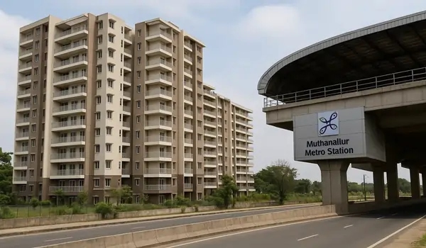
- Namma Metro Phase 3: A proposed metro line (Sarjapur–Hebbal) will greatly reduce travel times to other parts of the city.
- Road Widening: Plans to widen Sarjapur Road into a six-lane highway will help reduce traffic jams.
- Peripheral Ring Road (PRR): This major project will link key highways, providing better access around Bangalore's outskirts.
- Improved Public Transport: More dedicated BMTC bus routes and Vayu Vajra services to the airport are expected to make commuting easier.
Sarjapur Road continues to grow as one of Bangalore's top residential and commercial areas. Its smart location and strong road network make it appealing for both a convenient lifestyle and future investment. As Bangalore develops further, this corridor is set to become even more central to the city's growth.


